RemoteView trad
Overview
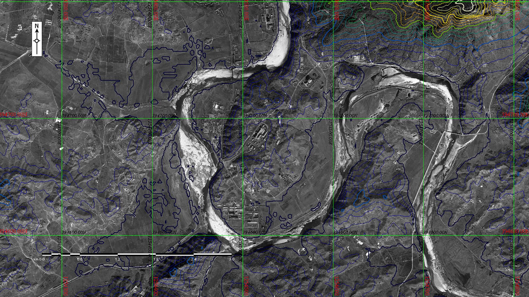
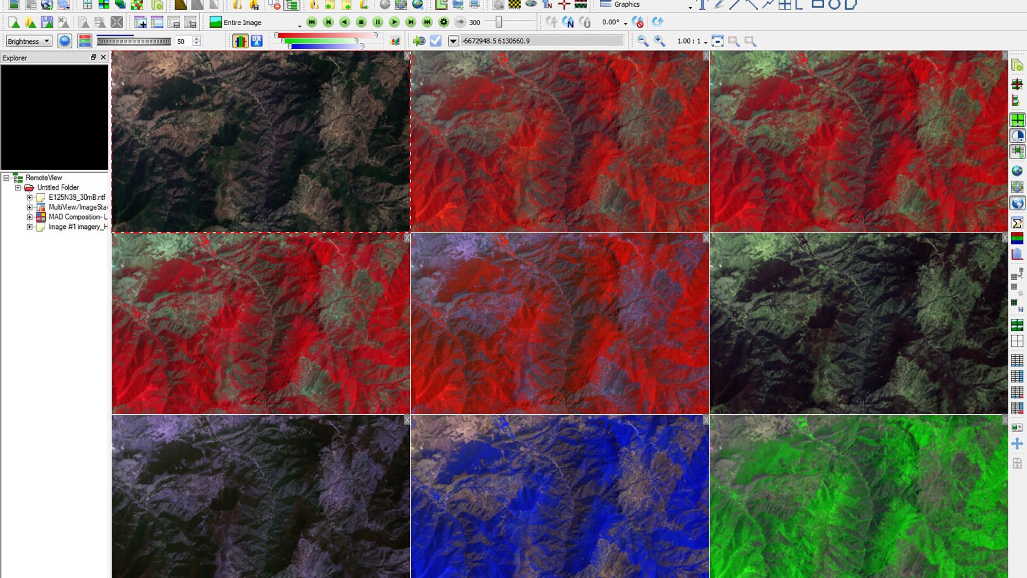
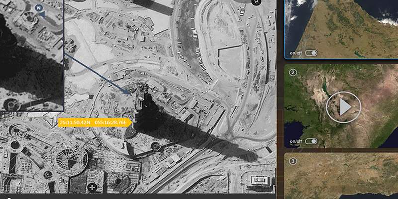
Our flagship thick-client imagery exploitation product, RemoteView Pro, provides analysts with premier analytical tools. Users are able to quickly enhance imagery and gain valuable perspective through analytical tools and extensions that are essential for mission planning and operational support.
As the geospatial intelligence solution of choice, RemoteView has a long history of success across a broad range of users within the U.S. intelligence community, Department of Defense, and across analysis directorates in 27 countries.
- Comprehensive imagery analysis capabilities
- Quickly find, interpret and annotate items of interest
- Includes tool sets for imagery and multi-image analysis
- New, analyst-centric graphical user interface (GUI)
- Customizable, streamlined navigation and workflow-aligned toolbars and profiles
- Supported releases include RemoteView
- 4.9.x
- 4.8.x
configurations
Versions
4.9.x
Released Early 2024
- Support for Feature Services
- Motion Image Stabilization
- New Anaglyph Stereo Mode
- Tone Mapping mode to improve image quality of heavily shadowed images
- Create a mosaicked image out of FMV frames
- Generate a Supercube from two overlapping multispectral images
- Save favorite GeoJump locations, automatically sort folders, and more
4.8.x
Released Early 2022
- Full exploitation of FMV videos and metadata
- Playback, enhancement, capture stills
- MISB KLV Support
- LDS and VMTI (0601 and 0903)
- Support for generating and visualizing Track Data
- STANAG 4676
- Editing of Esri Geodata Feature Classes
- GeoPackage Support
integrations
RVSAR is an extension for our proven RemoteView™ software and provides capabilities to enhance the clarity of the synthetic aperture radar (SAR) imagery. Users can utilize an easy speckle suppression solution, allowing different filters to be applied either on a single page, or multiple polarization images on one page by using MultiViews.
3D Pro software is an add-on module for RemoteView™ that allows analysts to incorporate imagery in near real-time to create rich 3D scenes. Users can create mission scenarios by quickly generating buildings, utility lines, vegetation and other features to project in a 3D terrain model from the latest satellite or tactical imagery. Decision makers can visualize their areas of operation from multiple viewpoints and gain a realistic perspective of upcoming or past missions.
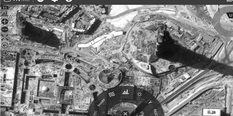
RVcloud offers many of the capabilities and features found in RemoteView in a cloud-based solution. RVcloud provides users the essential set of features needed to view and analyze imagery in an easy-to-use web application. Users are able to interact with full-resolution, enterprise-integrated, geo-referenced imagery within an intuitive interface.
Virtual Mosaic helps users streamline the process of building terabyte-sized mosaics. Our software easily handles the construction of an image product comprised of numerous input images, with no preprocessing or conversion steps required.
Analysts today need on-demand access to vast geospatial data to generate mission-critical intelligence products. Our GeoCatalog software is the premier data management framework driving that process. The intuitive and easy-to-use web interface enables users to access, manage and analyze large holdings of geospatial data, ensuring every phase of mission success.
Specifications
| Processor | Minimum: 4 Cores Recommended: 8 Cores |
| Operating Systems | Microsoft Windows 10 64-Bit Microsoft Windows 11 64-Bit |
| RAM | Minimum: 8 GB Recommended: 32 GB |
| Graphics Card |
Professional Grade (Recommended):
Consumer Grade:
|
| Monitor | 1600 x 1200 minimum resolution |
| .NET Framework | Microsoft .NET Framework 4.5 or greater |
| Software | Adobe® Reader®, Microsoft PowerPoint™, KML Earth Viewer (Google Earth™, ArcGIS® Earth, or other) |
Adobe and Reader are either registered trademarks or trademarks of Adobe Systems Incorporated in the United States and/or other countries
GeForce, NVIDIA and Quadro are registered trademarks of NVIDIA
Linux is the registered trademark of Linus Torvalds in the United States and other countries
PowerPoint and Windows are either registered trademarks or trademarks of Microsoft Corporation in the United States and/or other countries
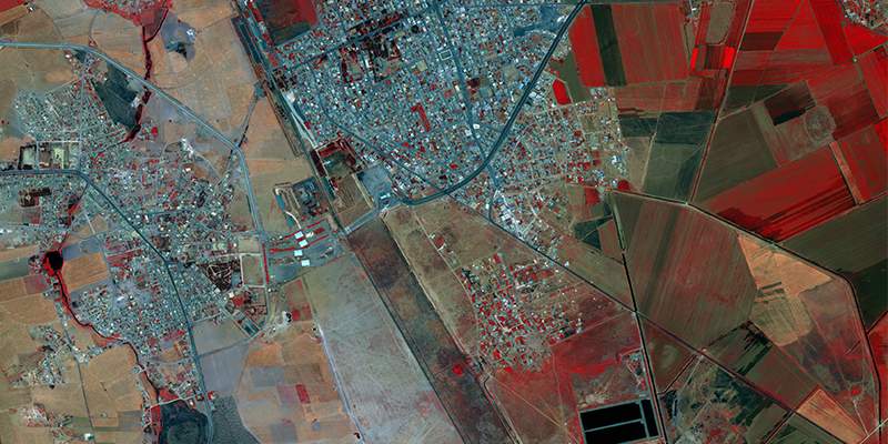
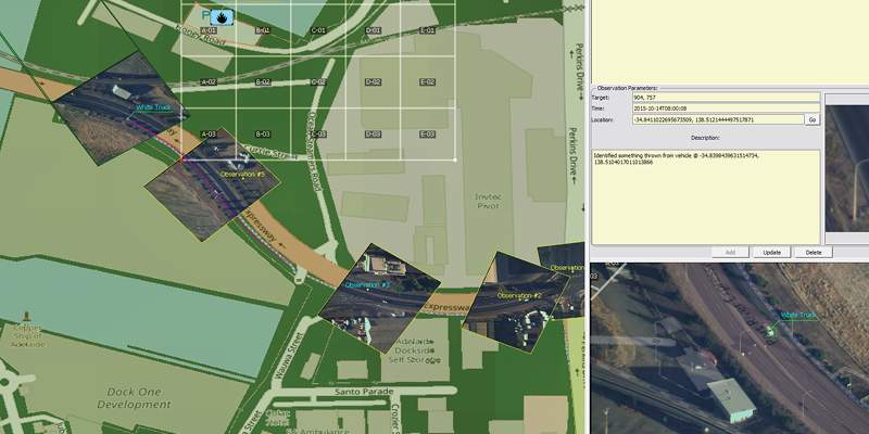
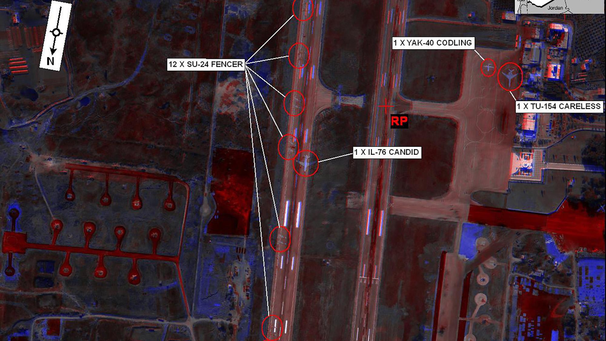
Gallery
Related Content
SeeGEO®
- Discover, collaborate, exploit and disseminate data
- Enrich FMV data through collaboration