news
Textron Systems’ UAS Image Processing and Geospatial Analysis software provides Customers with Real-time Results
March 8, 2021
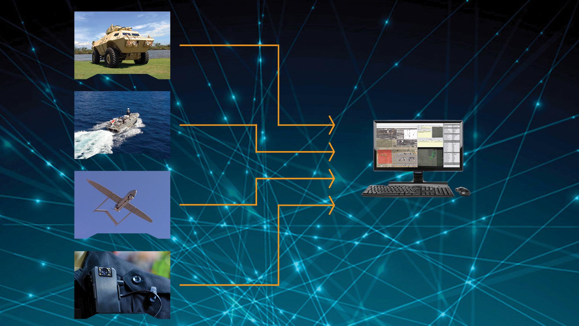
Textron Systems, a leading developer of data analysis and image processing software, provides user-friendly and powerful imaging software to its customers. Used separately or in combination, Textron Systems geospatial portfolio software delivers immediate processing, analysis and results to users.
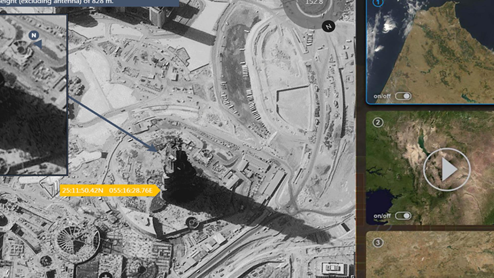
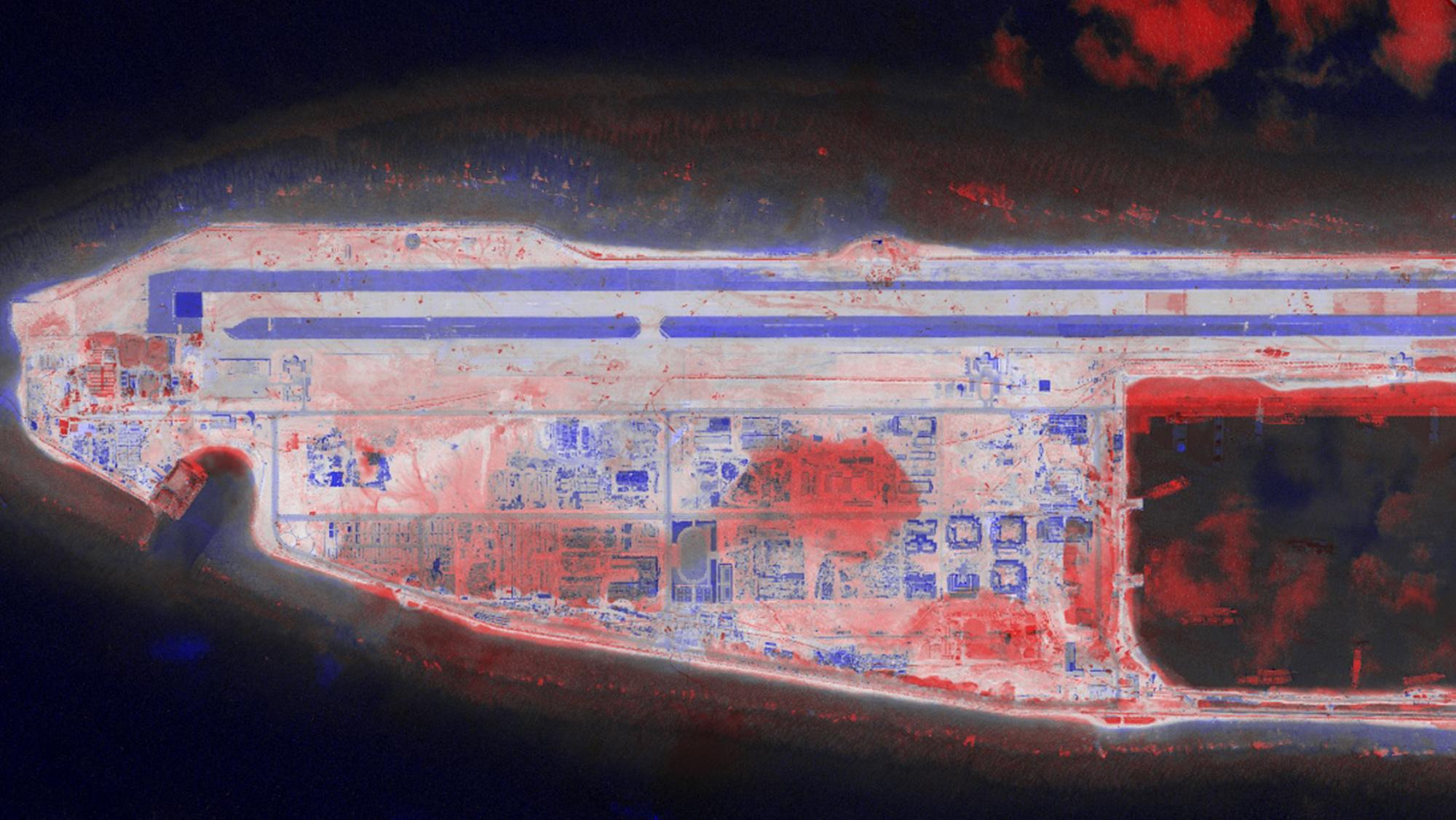
- The RemoteView™ software provides analytical tools and extensions to enhance imagery. RemoteView also supports missioning planning and operational support.
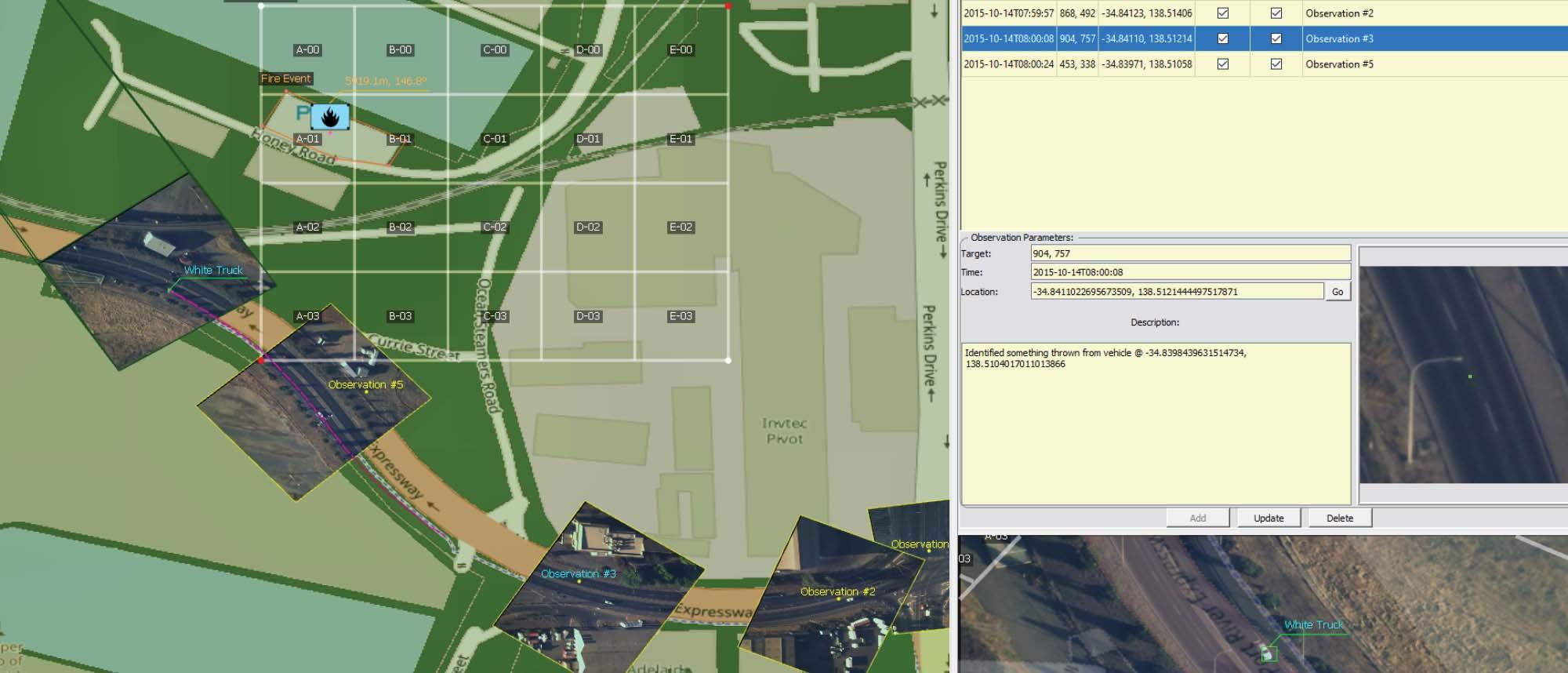
- Optice™ is a real-time visualization and exploitation tool, able to interact with full-motion video (FMV) and other data sources.
- SeeGEO™ is a web-based platform designed to solve problems across the spatial-temporal spectrum. With its user first design approach and collaborative environment, SeeGEO provides best in class tools for visualizing and interacting with geospatial imagery and video.
- Opmeta™ is a high-performance video encoder that uses high-performance hardware and software. The software supports popular codecs, including H.264 and H.265, from legacy to 4K resolutions.
These products provide critical support to customers, helping analysts and operations teams to synergize various data streams in real-time. Textron Systems imagery and data analysis portfolio of products helps to arm decision makers with the right tools to support their missions in the civil and defense markets.
Next