Feature Analyst
Overview
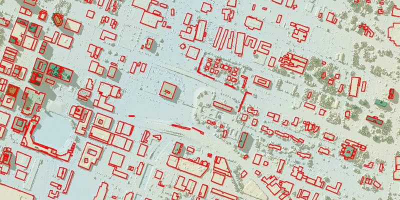
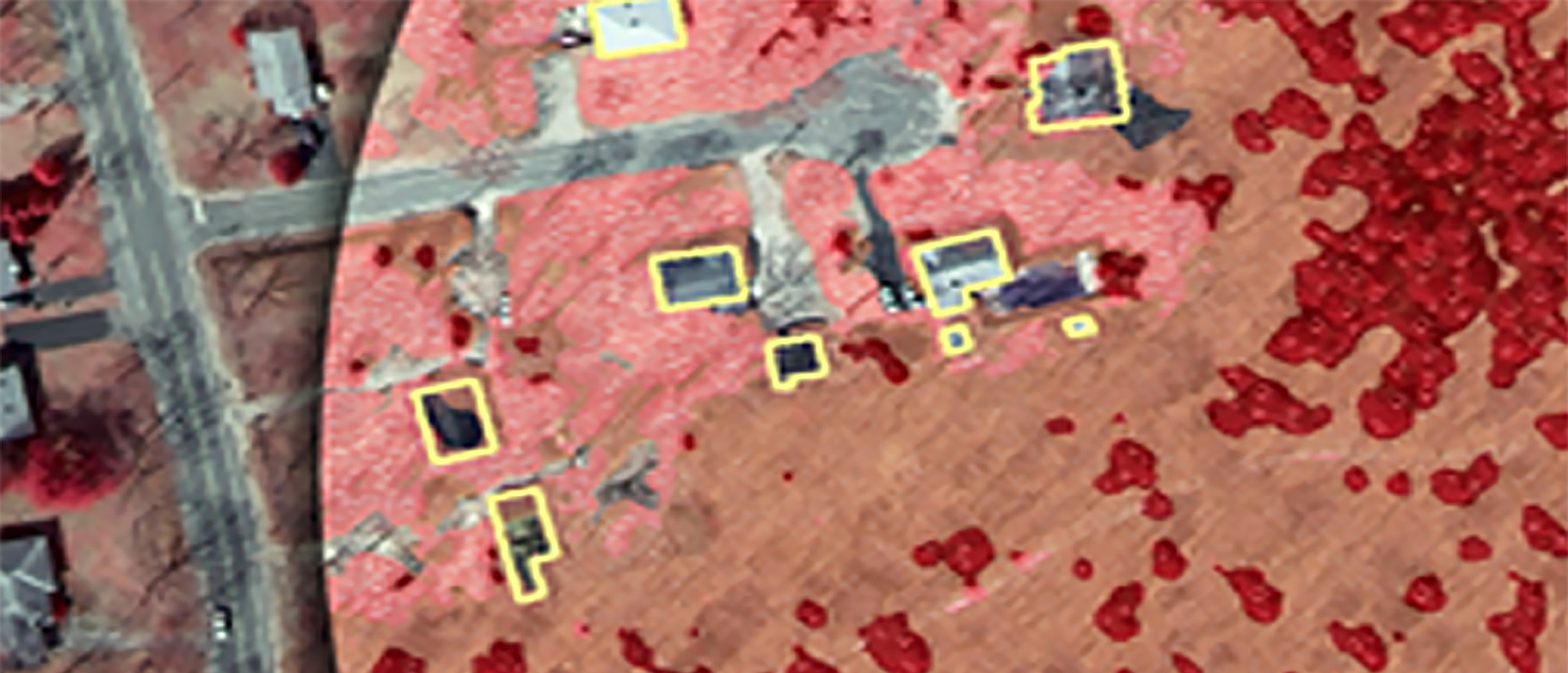
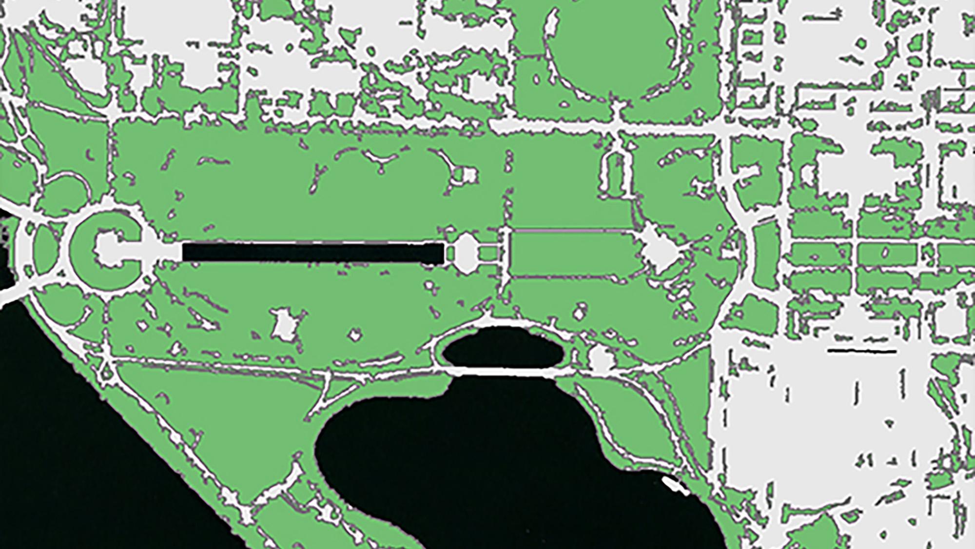
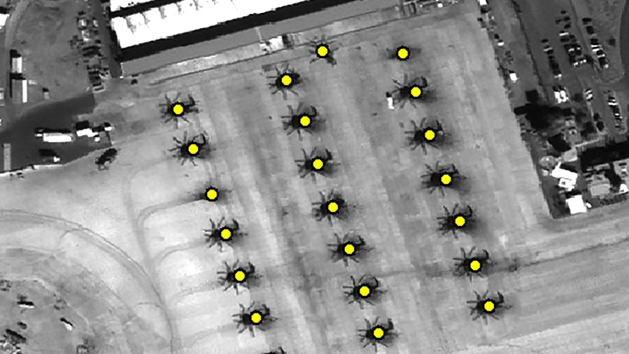
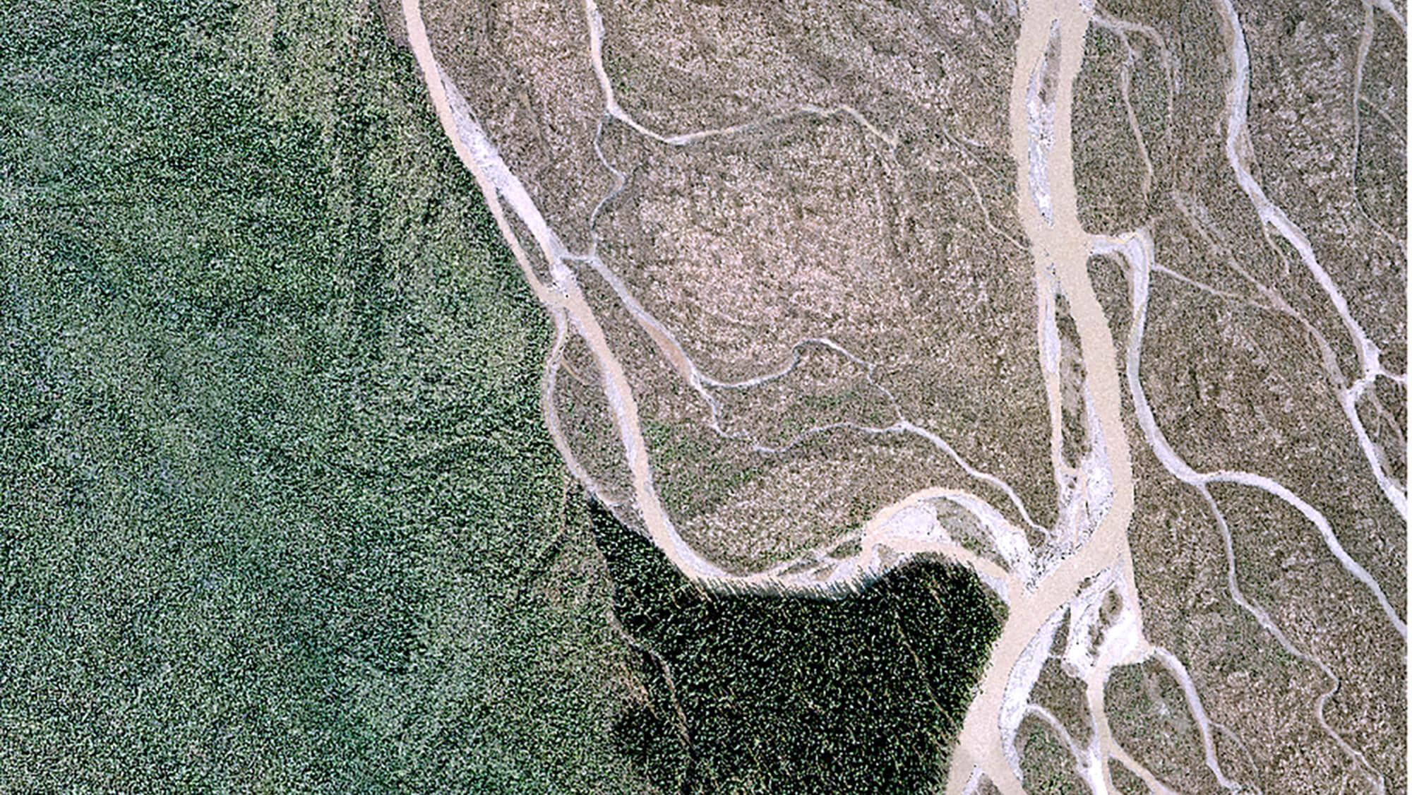
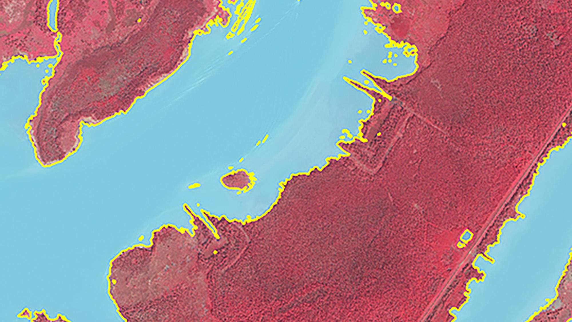
Textron Systems' Feature Analyst is tightly integrated with the Esri® ArcGIS® platform to extract feature data from imagery in order to populate geographic information systems (GIS) databases. Analysts can rapidly and accurately collect vector feature data from high-resolution satellite and aerial imagery in order to gain spatial understanding.
All products generated from Feature Analyst are directly importable into RemoteView™ and can automatically be linked via RVConnect™. Feature Analyst can also work in conjunction with LIDAR Analyst™ to simultaneously extract actionable information from both imagery and LiDAR.
- Utilize spectral and spatial information to rapidly collect feature data from satellite and aerial imagery
- Perform object-specific change detection
- Improve feature data using a variety of post-processing and advanced-editing tools
- Develop automated feature extraction (AFE) models that contain all of the information required to automatically process additional data sets
- Improve feature extraction results using an iterative, hierarchical learning process




Specifications
| Supported Software | ESRI® ArcGIS Pro® 3.1x - 3.5x |
|---|---|
| Hardware Requirements | Intel® 2.0 GHz or better; 4 GB or better on client |
| Operating System | Windows® 10, Windows® 11 |
ArcGIS and Esri are trademarks of Environmental Systems Research Institute, Inc.
Intel is a registered trademark of Intel Corporation in the U.S. and/or other countries.
Windows and .NET Framework are either registered trademarks or trademarks of Microsoft Corporation in the United States and/or other countries
Gallery
Related Content
Products
RemoteView™ PRO
- Image Visualization and Exploitation
- Precise Mensuration and Analysis
LIDAR Analyst™
- 3D feature extraction and analysis of LiDAR data
- Point cloud visualization